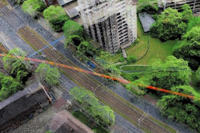
As-Built Documentation by use of UAV
Using UAVs, daily measurements are taken quickly and efficiently -
Take advantage of the latest technology.
With the help of our flying cameras, we detect areas and objects quickly, flexible and economical. Both in top view and with the aid of sloped images.
For all of our aerial surveys we essentially obtain regulatory approvals and comply with the privacy laws of the countries. Our pilots are members in flight sports clubs and possess the necessary licenses to control a professional UAV.
Take advantage through individual aerial photos:
- Cost-effective and rapid
- Up-to-date data for your areas
- Ground resolution of up to 1 cm
Sample Applications:
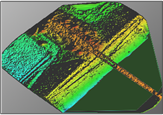
Digital Terrain Model |
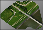
Orthophoto |
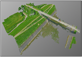
Colored 3D Point Cloud |
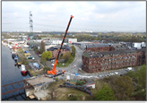
Individual aerial image |


